- The project, developed by Nunsys Group as part of the Valencia use case, analyzes urban water consumption, the Tous and Benagéber reservoirs, and the water level of the Albufera
- Predictive models make it possible to simulate future scenarios and provide information to support decision-making in emergency situations, as well as for urban and environmental planning
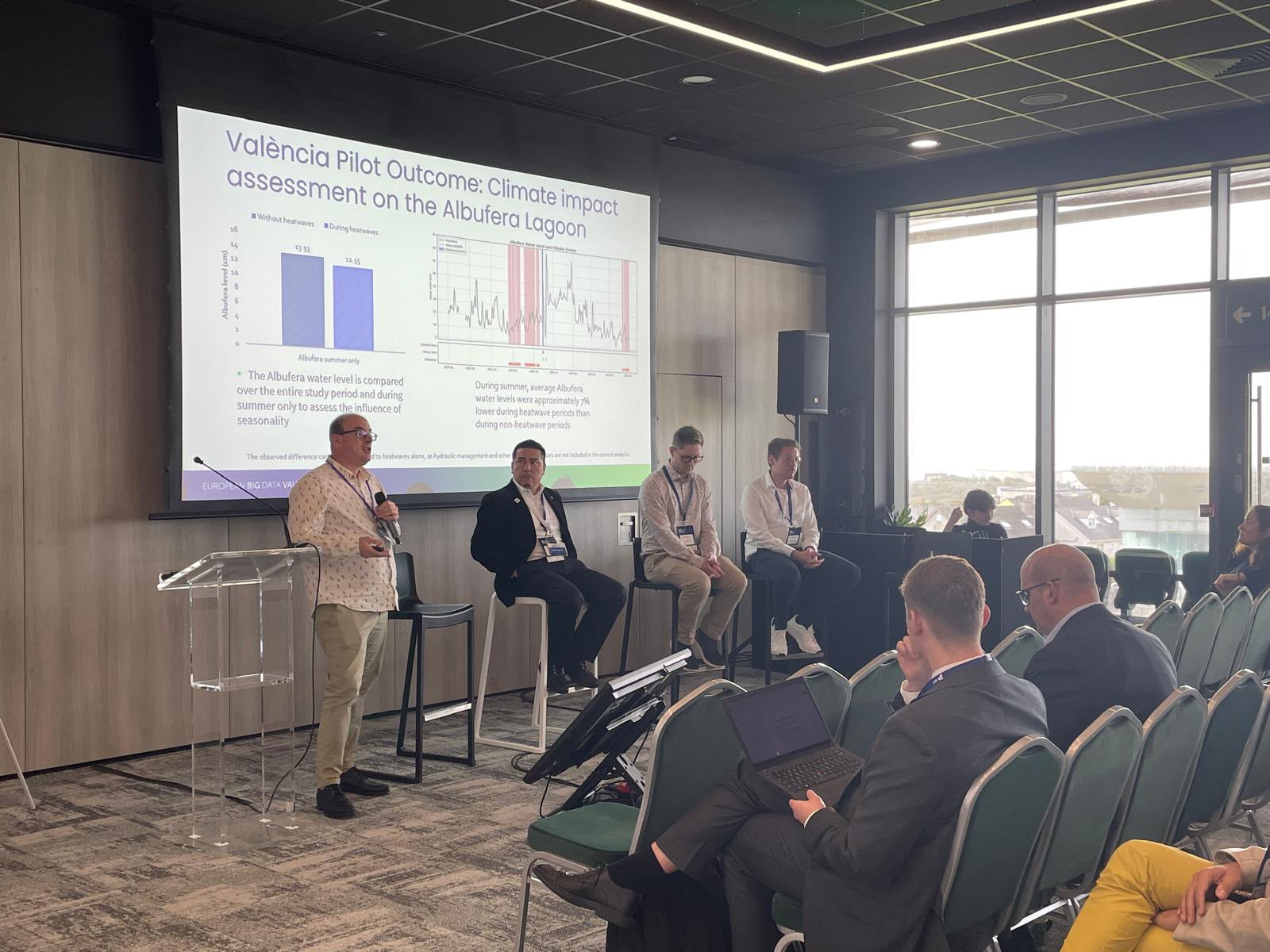
The European Geo4Water project recently presented the results of its pilot project—conducted in Valencia to analyze and anticipate the impact of extreme weather events on the city’s water resources—at the European Big Data Value Forum (EBDVF), held in Galway, Ireland.
The pilot project, developed by Libelium and Nunsys Group as part of the Valencia use case, combines data analysis and artificial intelligence to study the relationship between heat waves, heavy rainfall, and various indicators of Valencia’s water system: water consumption in different neighborhoods, the volume of the Tous and Benagéber reservoirs, and the water level of the Albufera.
“This project demonstrates how innovation and data can become concrete tools for anticipating the effects of climate change and improving the management of our resources. At València Innovation Capital, we work to ensure that technology addresses the city’s real challenges and generates practical solutions,” says Paula Llobet, Councilor for Innovation at the City of Valencia.
Artificial Intelligence for Anticipating Scenarios
The project has integrated historical data on daily consumption by neighborhood from January 2025 to July 2026, information on reservoirs from the Júcar River Basin Authority, water level measurements from the Albufera every 15 minutes, and meteorological data from the Nazaret station.
The analysis shows that consumption patterns vary across neighborhoods during heat waves. While areas such as Malilla, Mestalla, Exposició, and Soternes maintain stable or slightly lower consumption levels, Perellonet shows a more significant increase, as this is where the population grows during the summer months.
In the case of the Albufera, the data show a particularly direct response to weather conditions: heat waves are associated with an approximate 7% drop in its water level, while episodes of extreme rainfall recorded in September and October 2025 caused increases ranging from 104% to 185% in just a few days.
Based on this data, the project has developed predictive models capable of forecasting, several days in advance, water consumption by neighborhood and changes in the water level of the Albufera, respectively, using weather forecasts and historical data.
“These models allow us to anticipate specific situations: for example, knowing several days in advance how water consumption might change in each neighborhood during a heat wave, or how the water level in the Albufera might vary after a period of heavy rain. This ability to anticipate provides invaluable information for planning resources, preparing responses to extreme events, and making decisions with a better understanding of what might happen,” says Paula Llobet, Councilor for Innovation at the City of Valencia.
These models make it possible to simulate future scenarios and provide information to support decision-making in emergency situations, as well as for urban and environmental planning.
The results of the pilot have also been integrated into the EU LDT Toolbox, where users can view historical data, current monitoring information, and the results of predictive models.
The project will continue to expand the available time series, particularly for reservoirs, with the goal of improving analytical and forecasting capabilities and contributing to more resilient water management in the face of extreme weather events.